We are able to prepare a map of Poland or it’s part, in any scale, with content and design corresponding to your needs.


- pdf vector or eps format, scalable without loss of quality
- raster jpg file for website
- licence for number of copies, volume or unlimited
- any scale and size, from 10×10 cm to 3×3 m
- design by Polkart or according to your vision
- jpg file for approving
- printing on demand
- administrative division
- highest up-to-date, e.g. motorways and expressways
- full topographical content or reduced to your wishes
- possibility of adding any desired information
- hipsometrical scale or hill-shading, on demand
Samples of the offered maps:
| . |
 |
 |
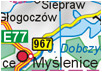
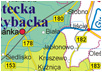
| map of Poland 1:500 000– 1,5 x 1,3 m size |
 |
 |
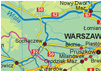
| map of Poland 1:750 000– 98 x 93 cm size |
 |
 |
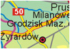
| map of Poland 1:1 000 000– 80 x 70 cm size |
 |
 |
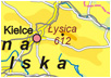
| map of Poland 1:2 000 000– 40 x 35 cm size |
 |
 |
| map of Poland 1:4 000 000– A4 size |
 |
 |
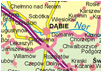
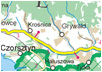
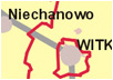
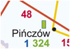
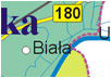
| map of voivodship 1:200 000 |
 |
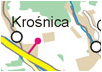 |
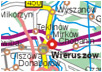
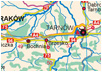
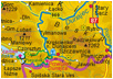
| map of voivodship 1:100 000 |
 |
|
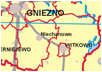
| map of administrative division of Poland |
 |
 |
| . |
|
|
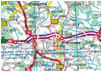
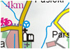
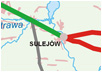
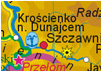
| road map of Poland |
 |
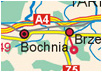 |
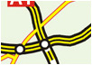
| map of motorways andexpressways in Poland |
 |
 |
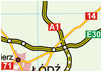
| map of roads for heavyvehicles in Poland |
 |
 |
| map of hospitals in Poland |
 |
 |
| map of Fisheries LocalAction Groups in Poland |
 |
 |
| General map of Poland |
 |
 |
| hill-shading map of Poland |
 |
 |
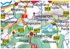
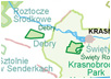
| map of protected areas in Poland |
 |
 |