Atlases are our particular speciality – the most difficult cartographical products.


- pdf, ai or cdr format file
- predominantly A4 size, often on double pages, there may be several smaller maps on the page
- licence for number of copies, volume or unlimited
- design fitting to whole project, established in close co-ordination with client’s designer
- hundreds of subjects from physical geography, economic geography or social geography
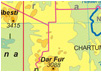
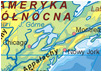
- historical maps and political maps
- pictorial maps and landscape maps
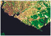
- satellite images and topographical maps
- Solar System and Milky Way
- learning of reading the maps, legends, scales and cartographical projections
- from reality to the sign on a map
- index of geographical names
- photos, sketches, schemas and diagrams – associated with the maps
- details and readability matching to powers of user
Samples of the offered atlas solutions:
|
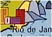
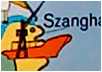
The World atlas for the youngest(Atlas świata dla najmłodszych)
Polkart, Geokart, NOWA |
 |
 |
 |
 |
 |
|
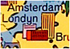
Geographical atlas of the World for high school(Świat Atlas geograficzny dla szkoły średniej)
Geokart-International, Polkart, NOWA |
 |
 |
 |
 |
 |
|
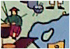
Geographical atlas of Poland(Atlas geograficzny Polski)
Wydawnictwo M. Rożak |
 |
 |
 |
 |
 |
|
Atlas of the nature(Atlas do przyrody)
Wydawnictwo M. Rożak |
 |
 |
 |
 |
 |
|
Poland Atlas of the nature 1(Przyroda 1 Atlas Polski)
Wydawnictwo Edukacyjne Żak |
 |
 |
 |
 |
 |
|
World Atlas of the nature 2(Przyroda 2 Atlas świata)
Wydawnictwo Edukacyjne Żak |
 |
 |
 |
 |
 |
|
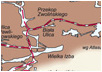
Atlas of Tatras(Atlas Tatr)
Sygnatura, Polkart |
 |
 |
 |
 |
 |
|
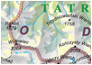
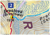
Practical Atlas of Tatras(Praktyczny Atlas Tatr)
Sygnatura, Polkart |
 |
 |
 |
 |
 |